
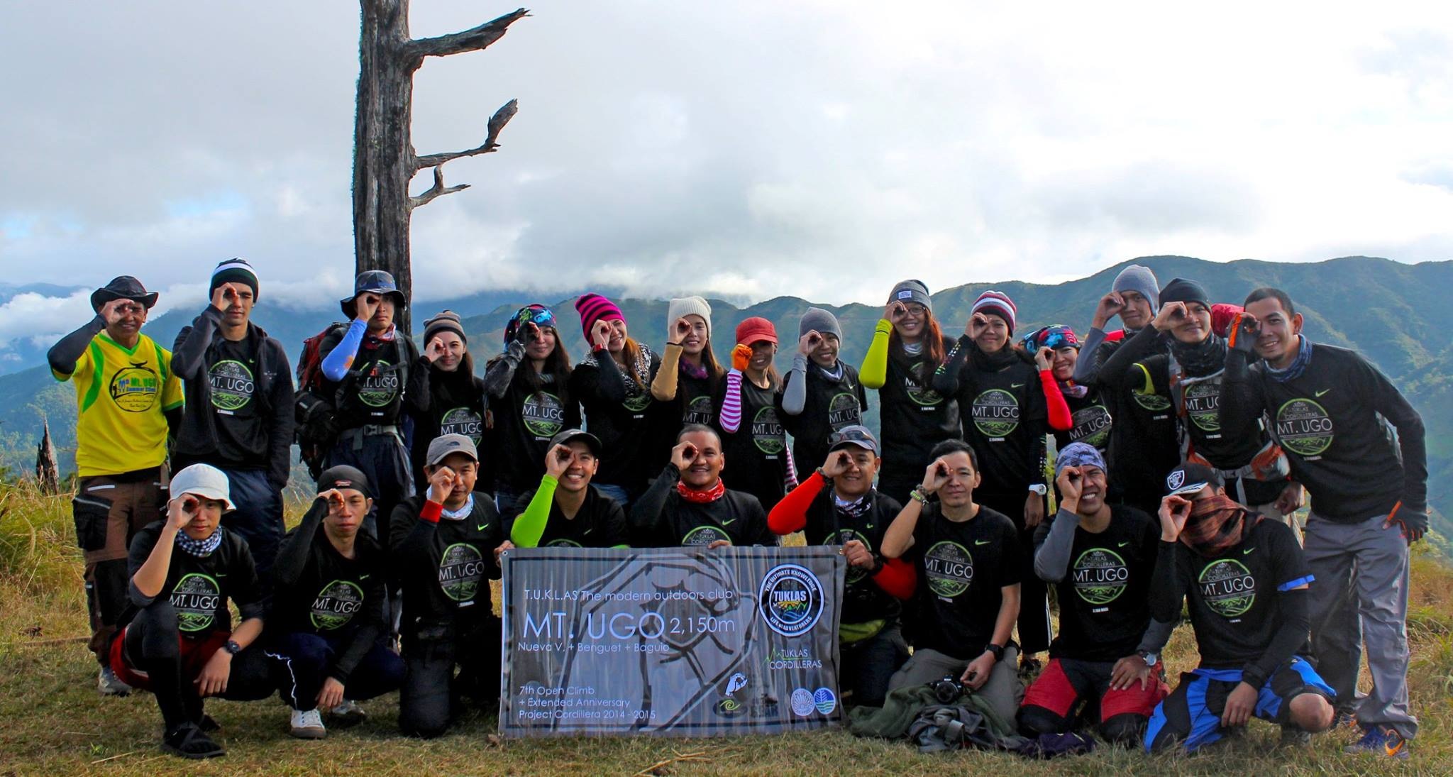
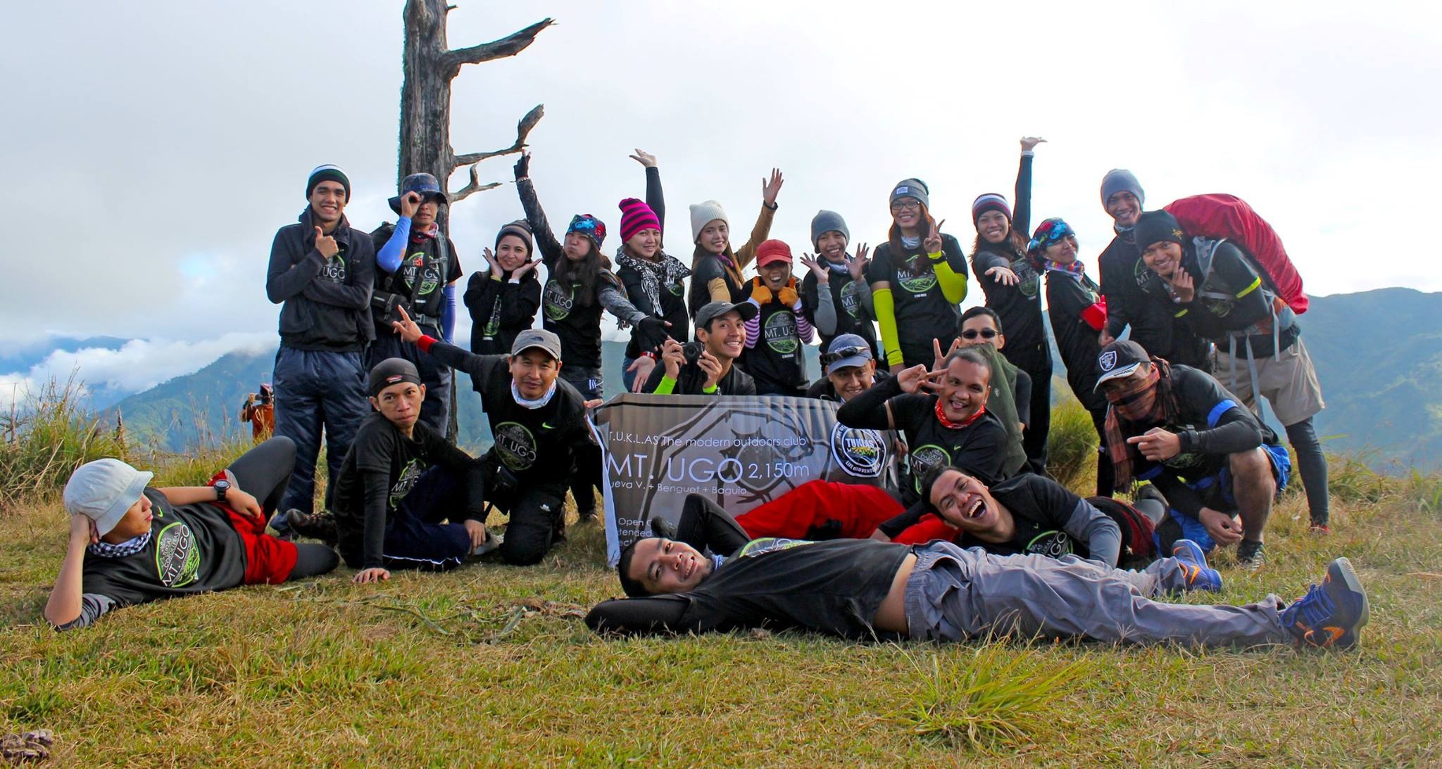
Mt. Ugo stands at 2150 MASL with a difficulty level of 5/9. This mountain is classified as a major climb and offers a great challenge of a traverse from Nueva Vizcaya to Itogon Benguet.
Tuklas created an open invitation for those who want to discover the beauty of Mt. Ugo. It was set on October but an unexpected strong typhoon named “Mario”, came and made us decide to reset the climb for the safety of everybody.
The excitement got intense as the day gets closer.
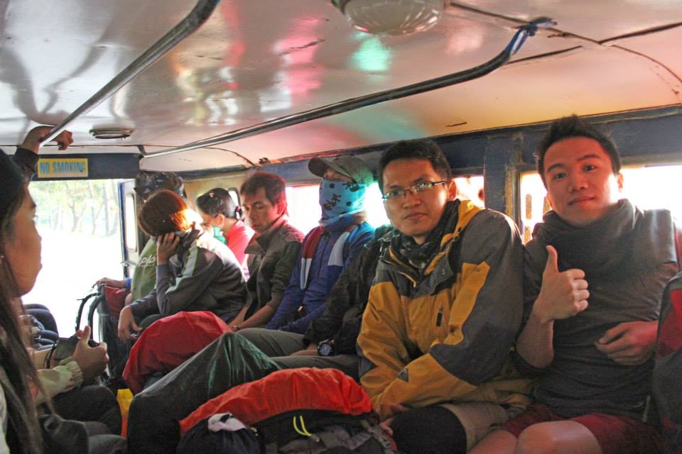
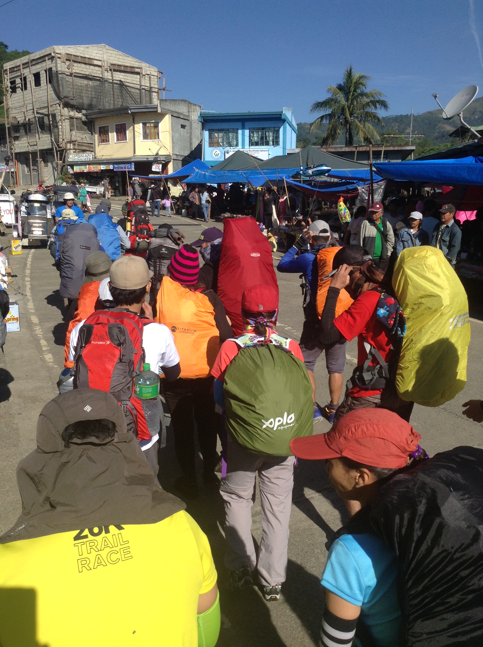
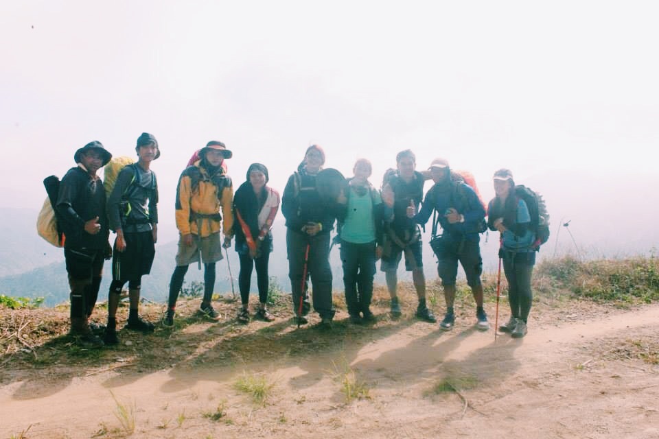
November 7, 2014 – We boarded a bus bound to Santiago. Surprisingly, on our way to our destination, somewhere in Nueva Vizcaya, we have experienced a heavy traffic that made our arrival late for an hour.
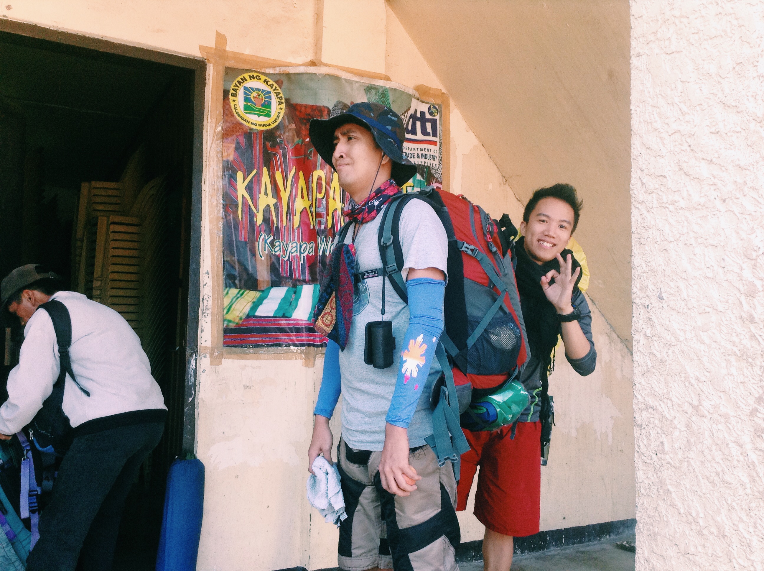
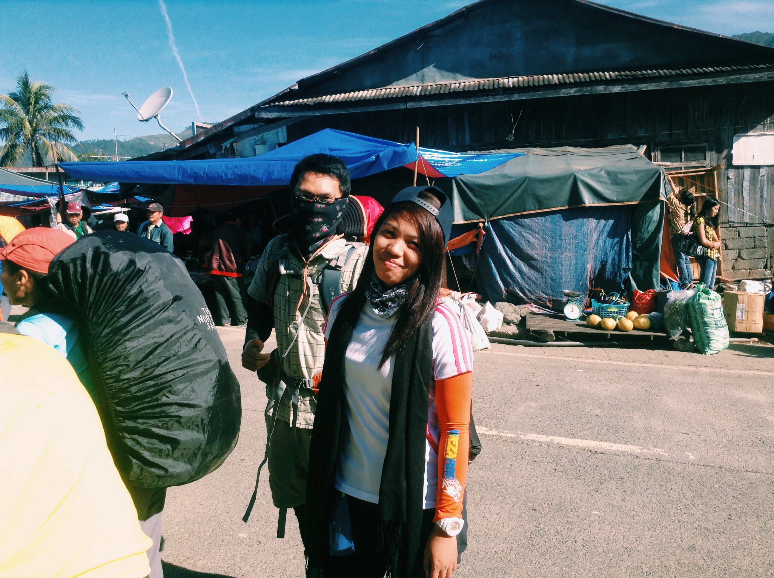
When we reached the Kayapa Public Market which serves as the jump-off, we took our breakfast, repacked our bags and got ready for the long day ahead.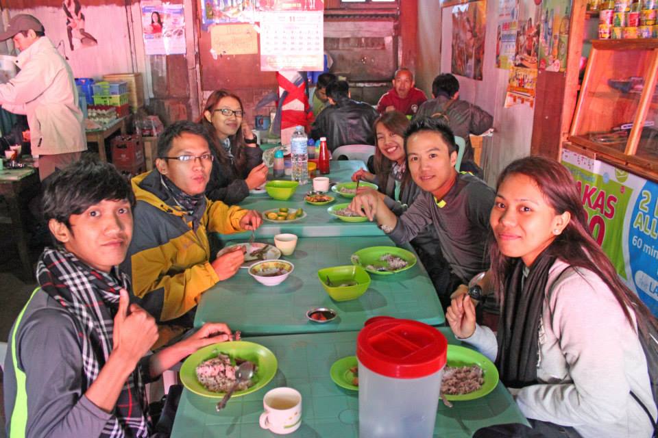
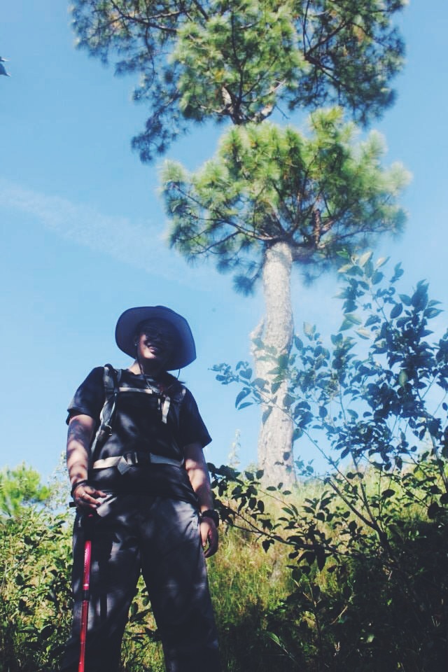
The first leg is in a full assault. I was panting and did a few stops before continuing each time. This mountain surprised us with trees that bear fruit! We were able to get some with the permission of our local guides. (It wasn’t just pine trees)
The Weirdo Dance by Vince. (Joke!)
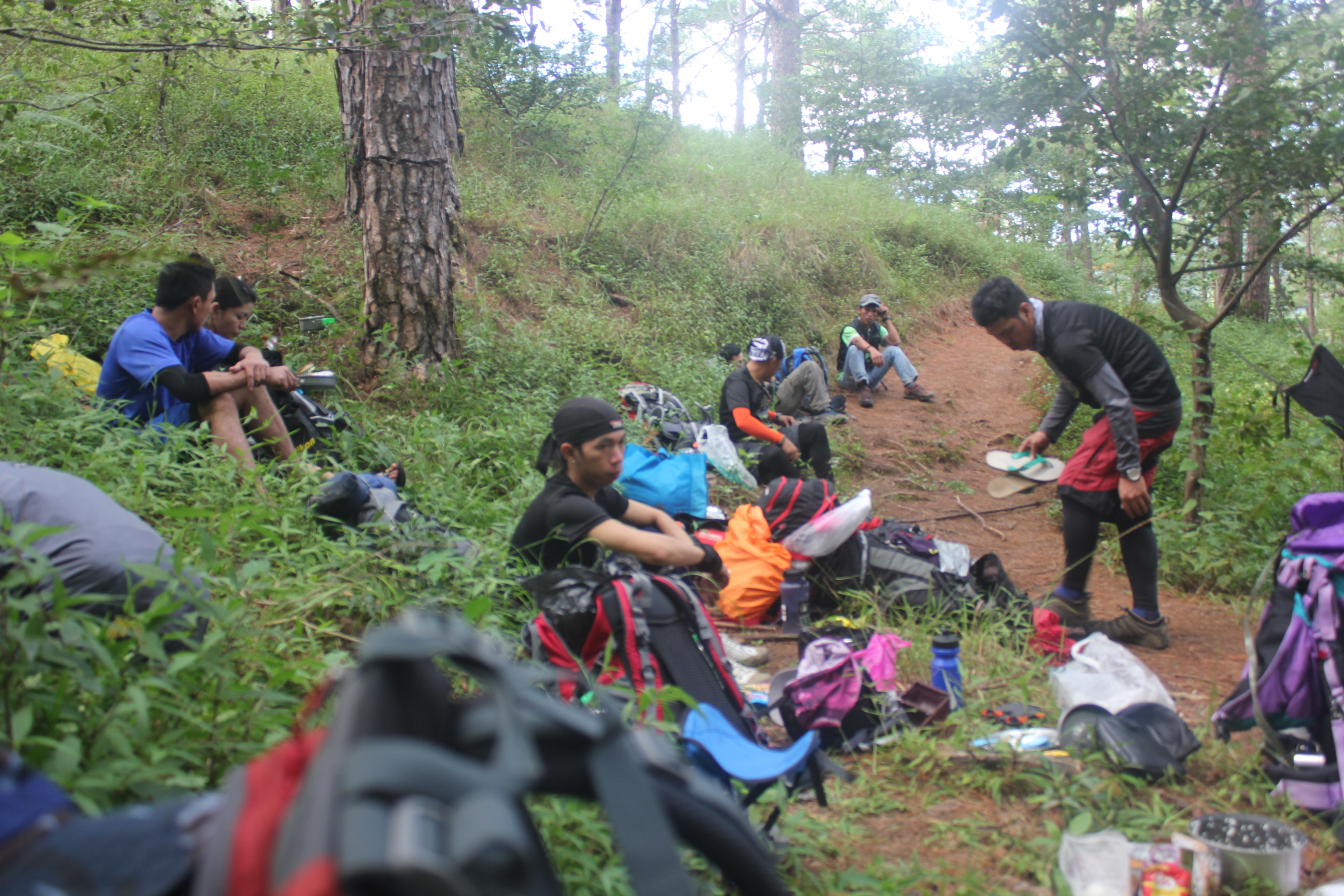
After a 2-hour trek, we reached the first village – the Indupit Village. We took our lunch and a quick nap while waiting for the rest of the team members.
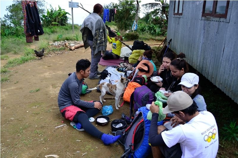
It was around 12 in the afternoon when we reached this village and expected to be the hottest time during the day. Ironically, it was not. I didn’t even take off my jacket because I was shivering because of the very cold wind.
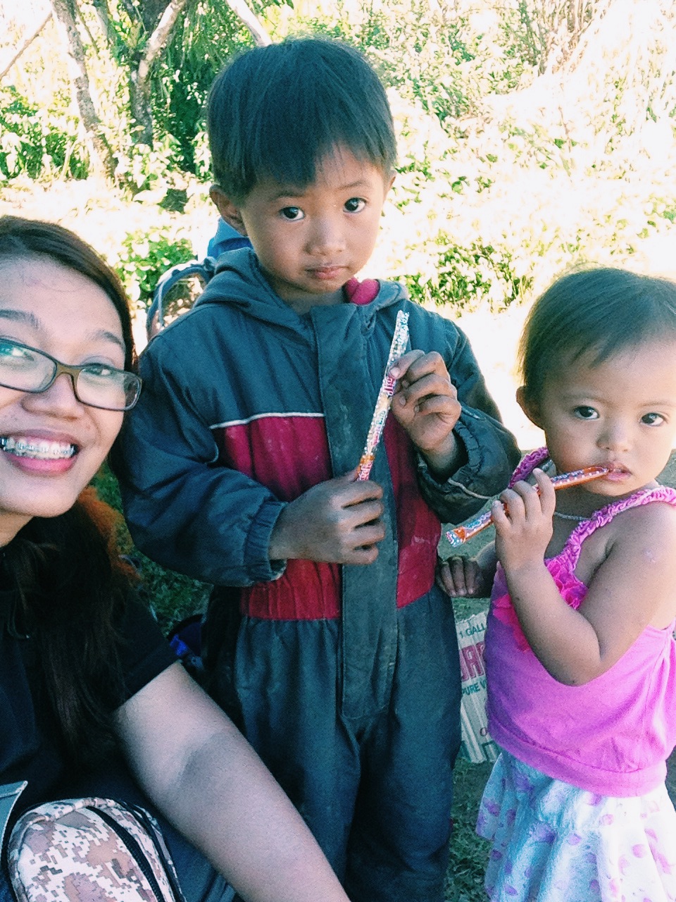
Beautiful kids of Indupit Village
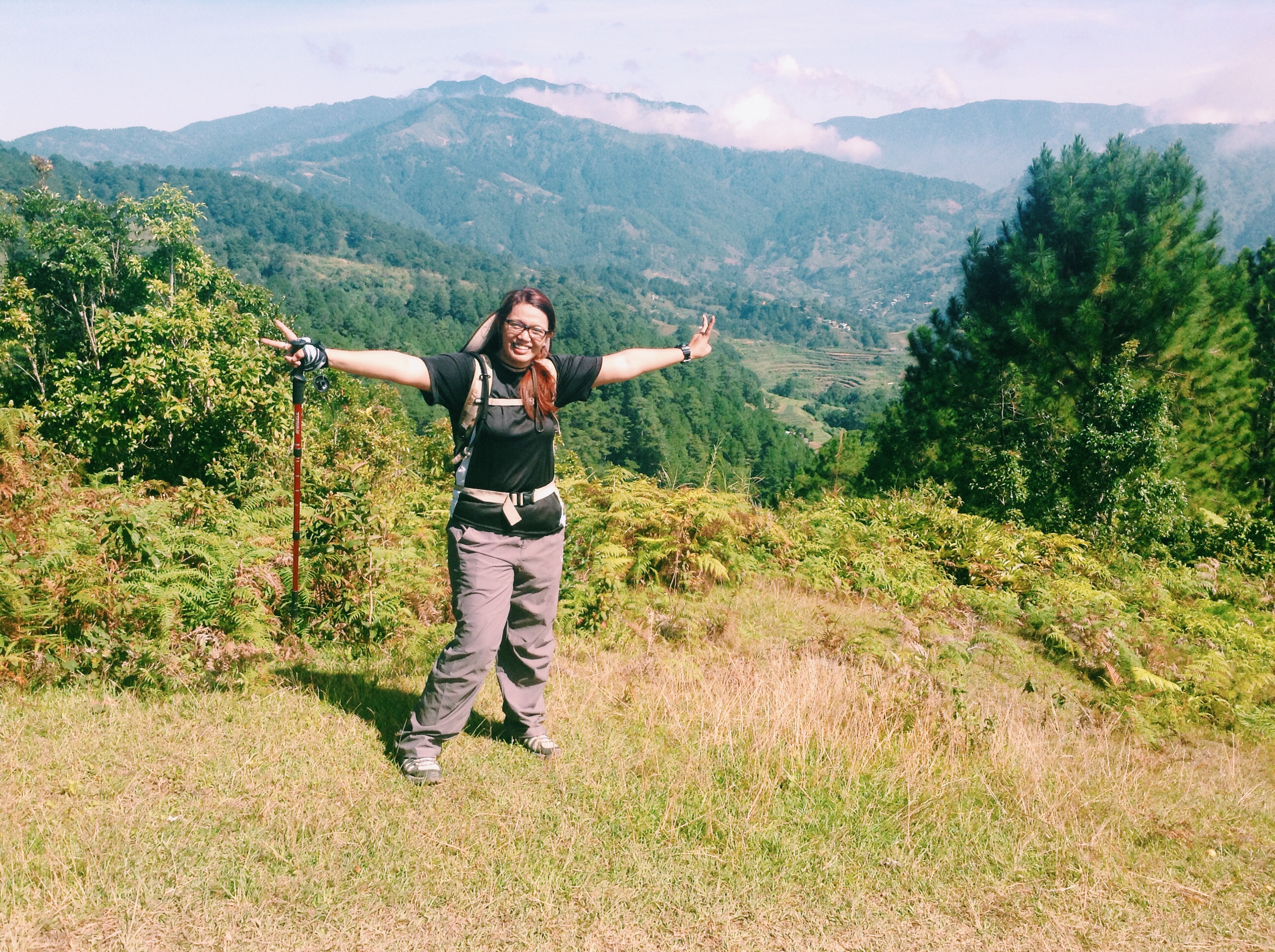
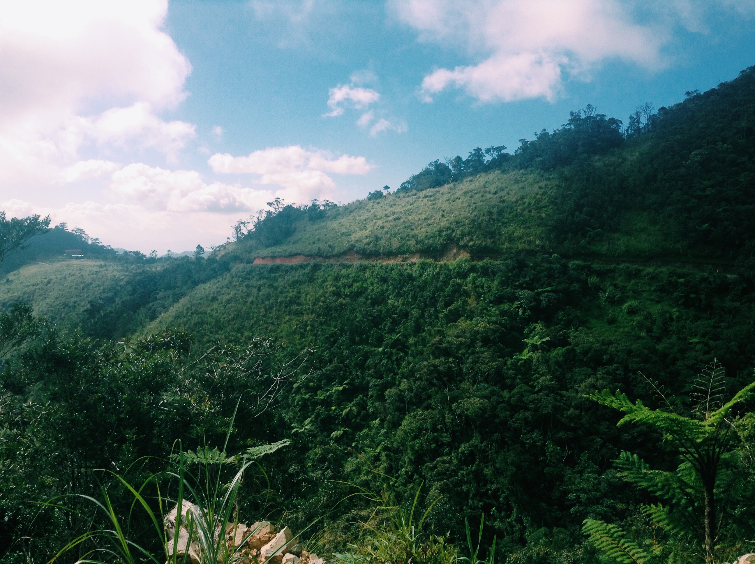
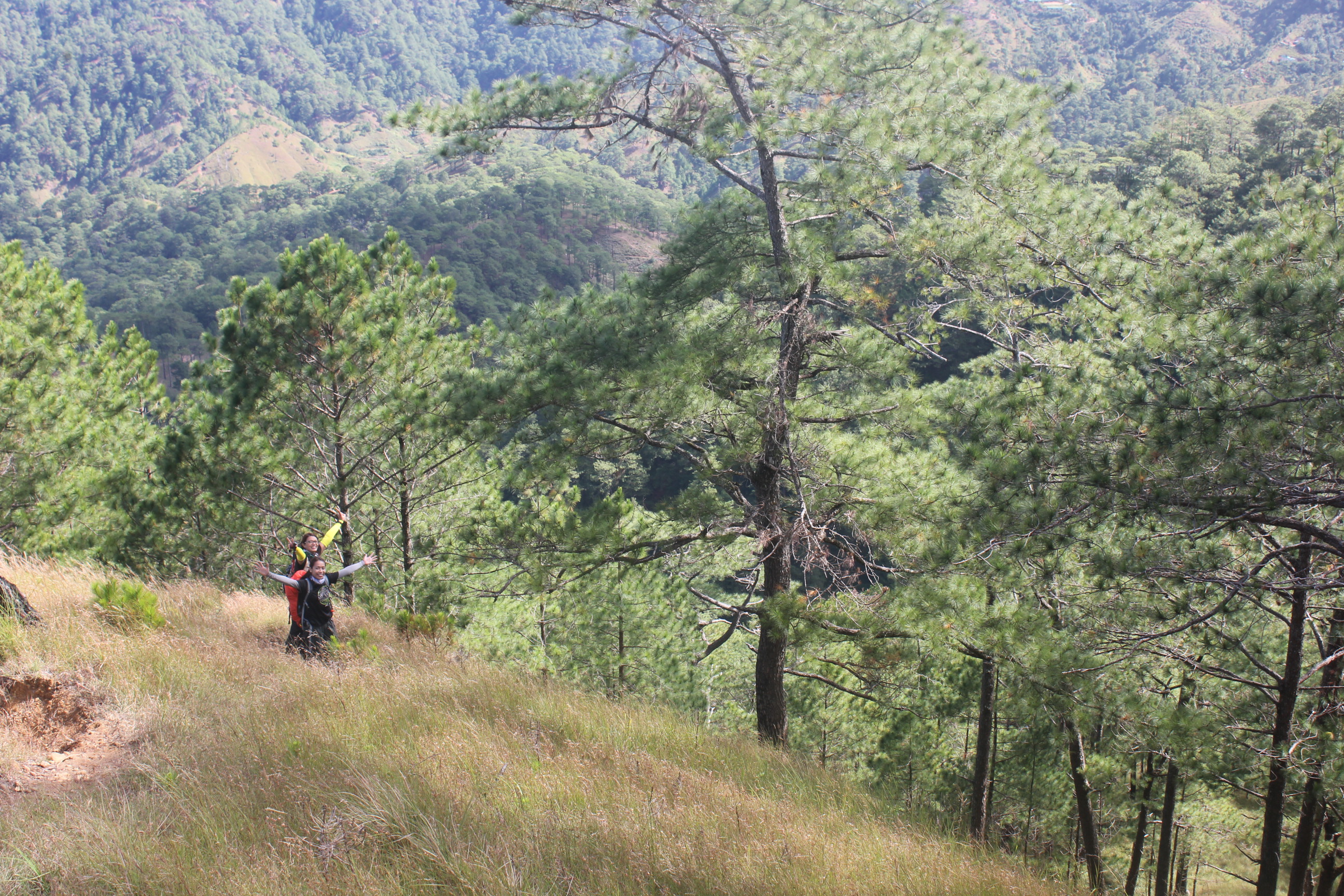
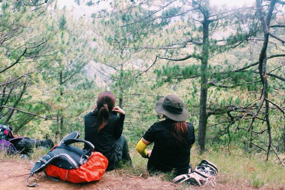
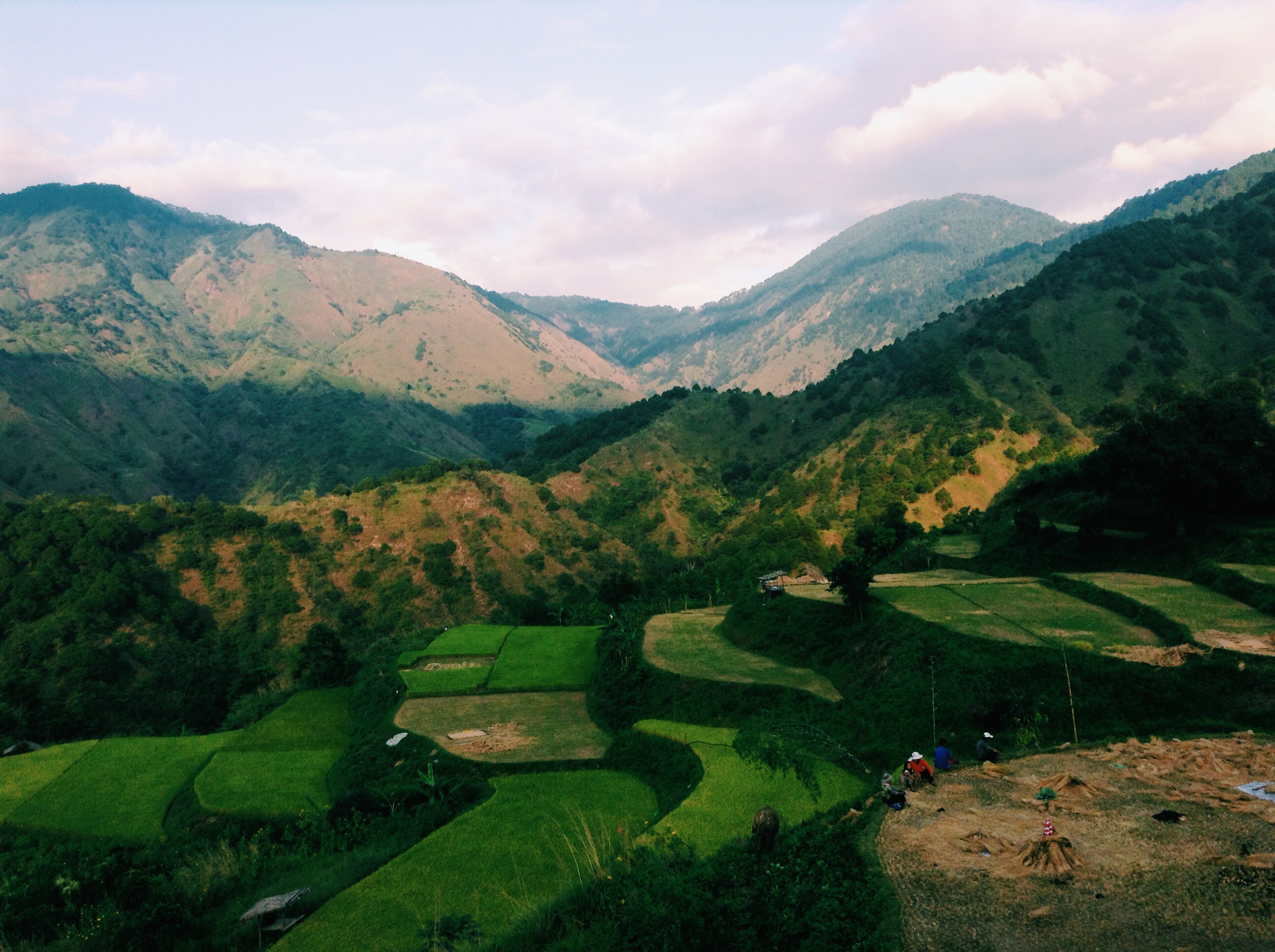
As we resumed our trek, the trail became a lot easier. It was a gradual assault for the few kilometers of the trail and it became flat. The same with the view, the trail were open so we get to see a lot of Cordillera. Kung baga, busog ang mga mata naming dito! Haha
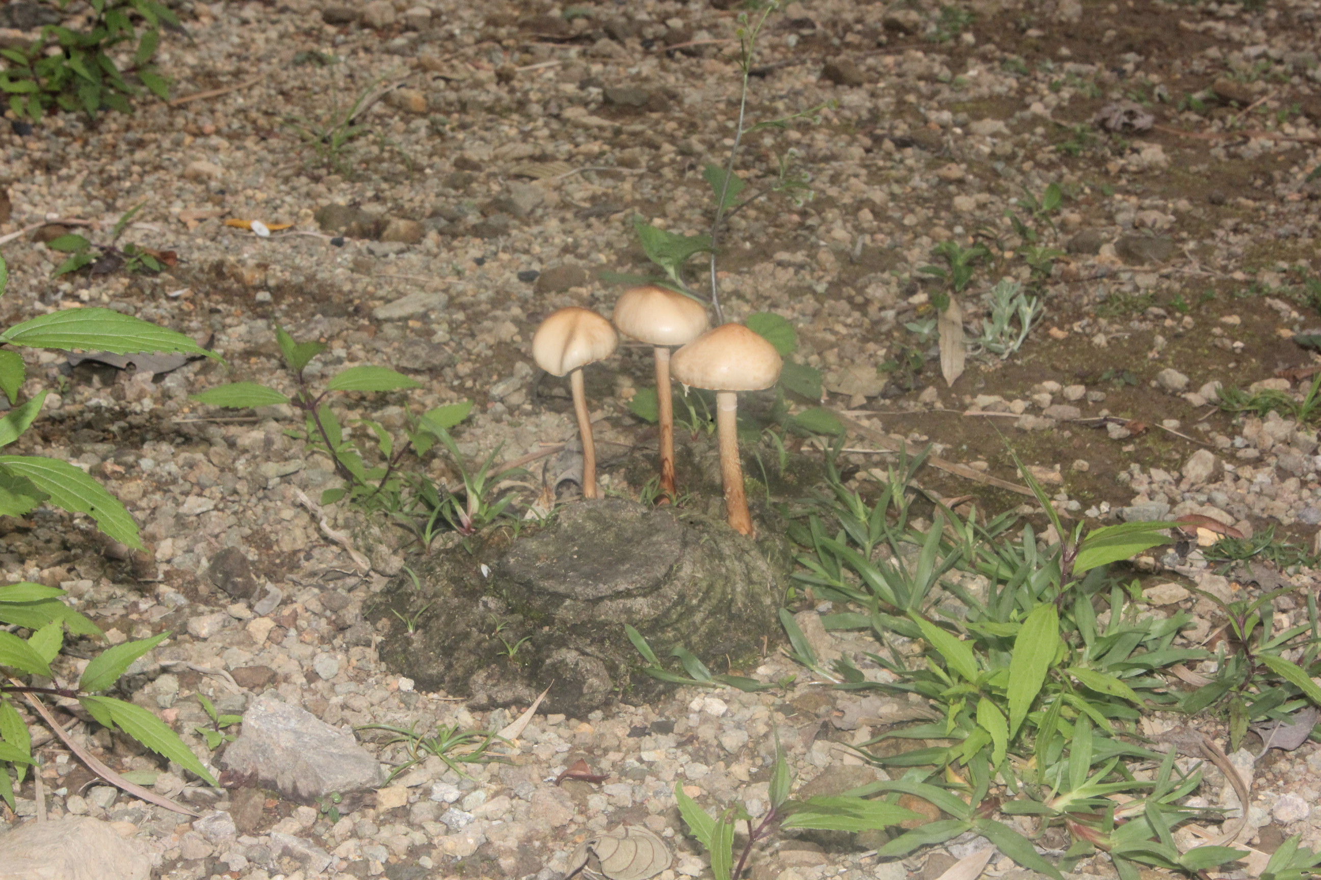
“Mushrooms from shit”
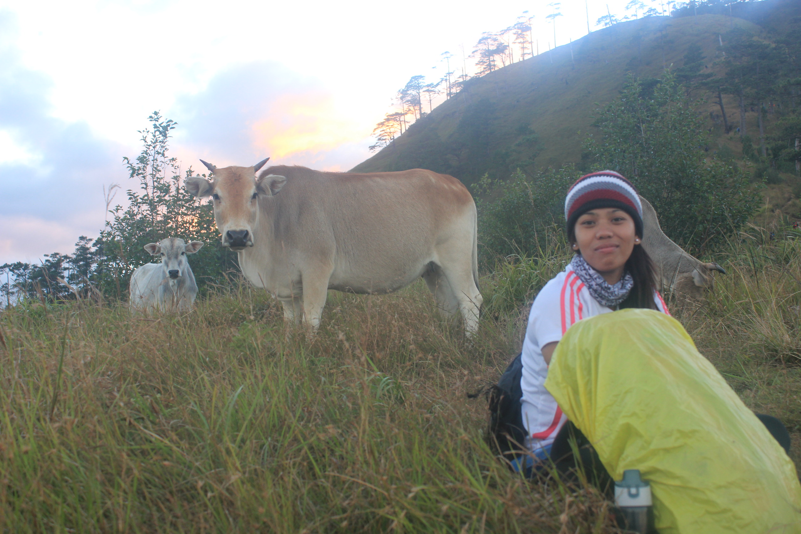
Corned beef , ay este mga baka sa Ugo
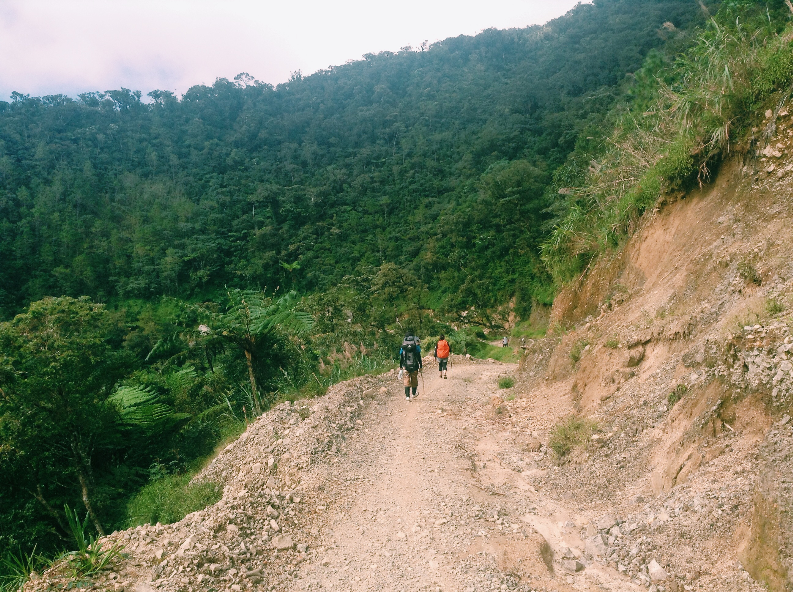
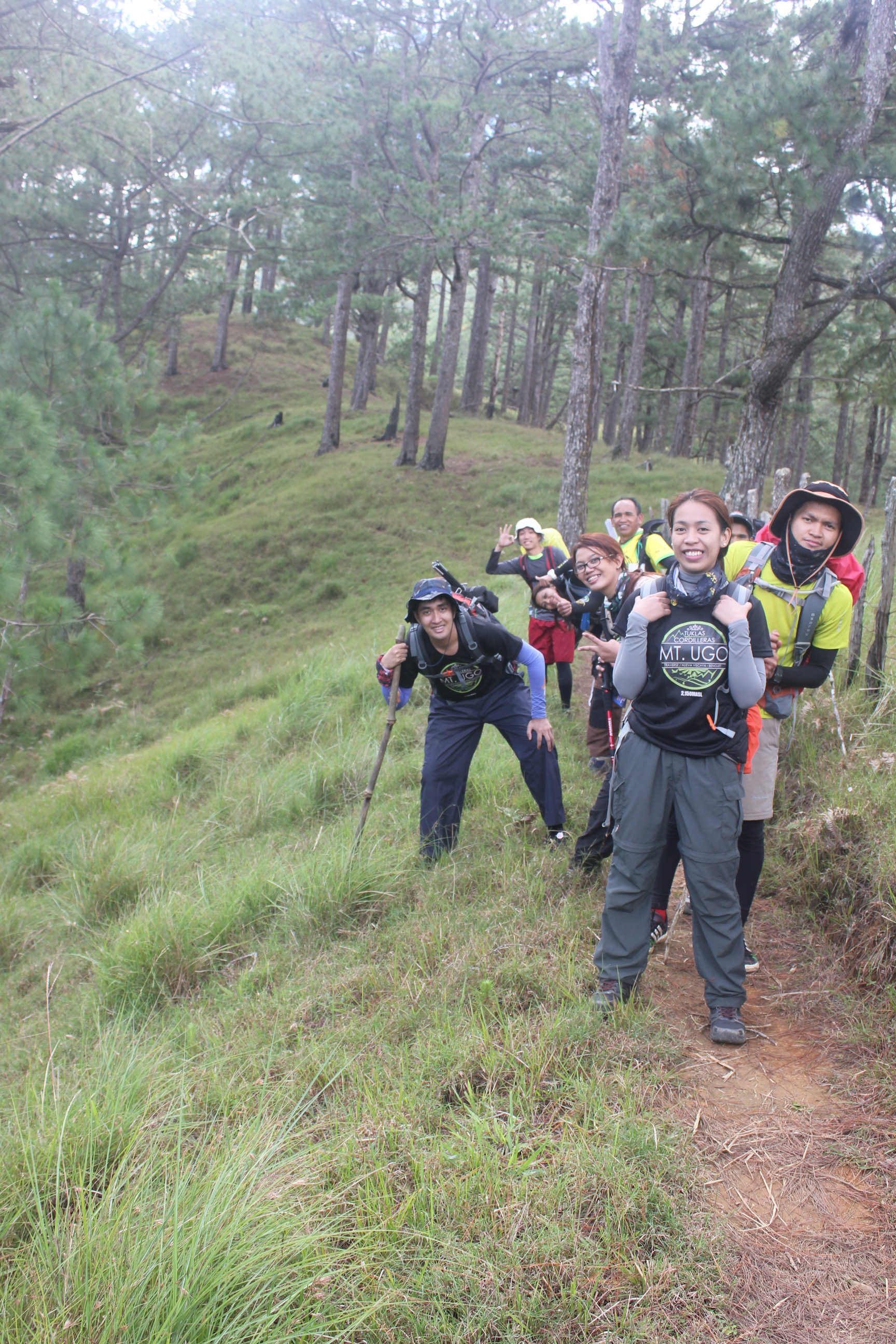
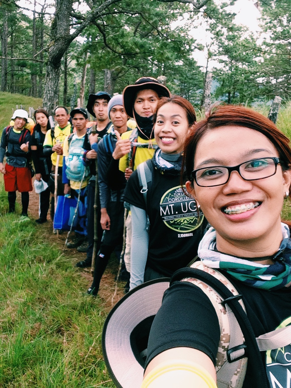
I thought that we will be passing another village but our guide told us that we will be taking a long way if we do that. So, he guided us to the short cut leading to the campsite.
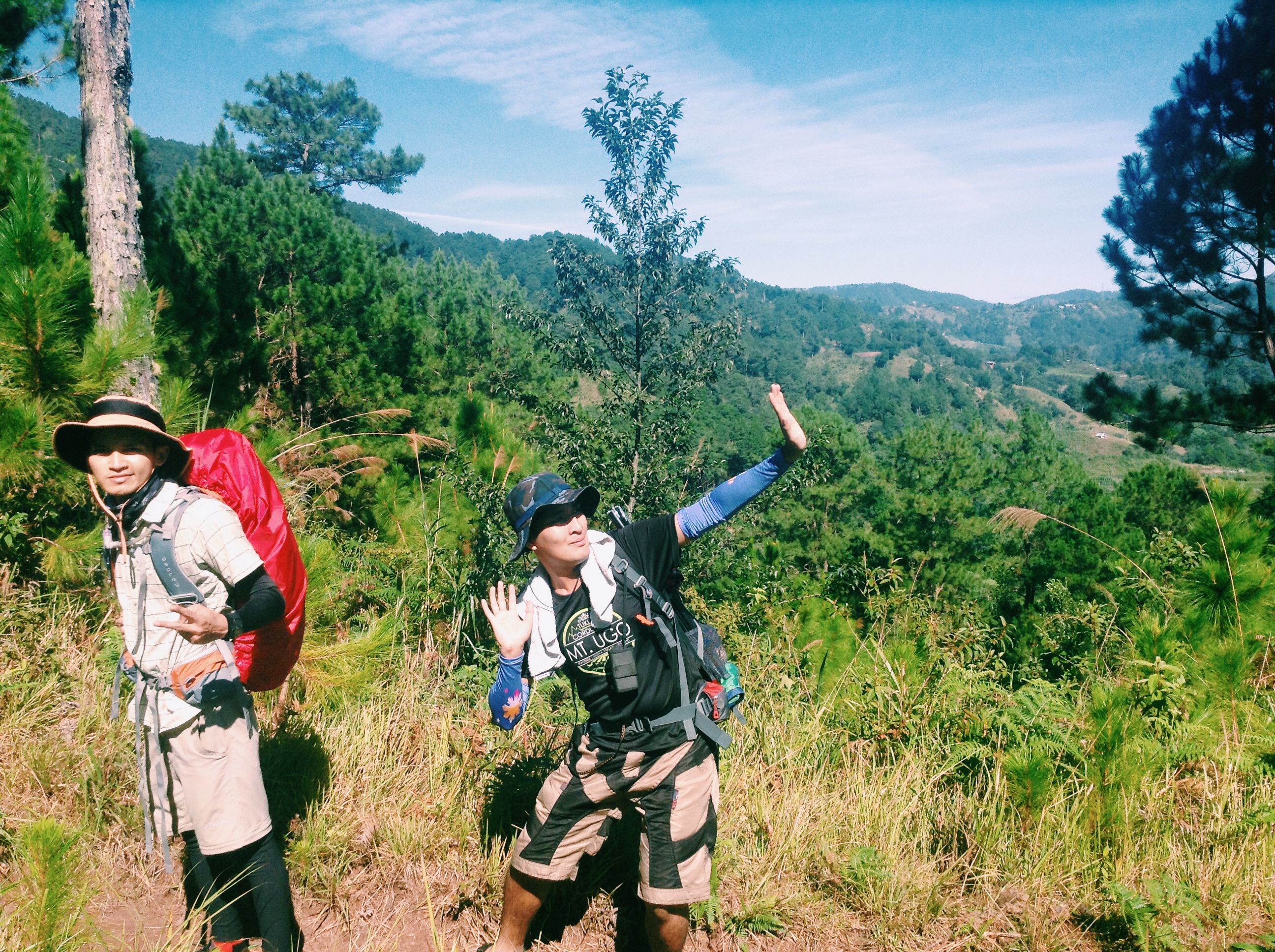
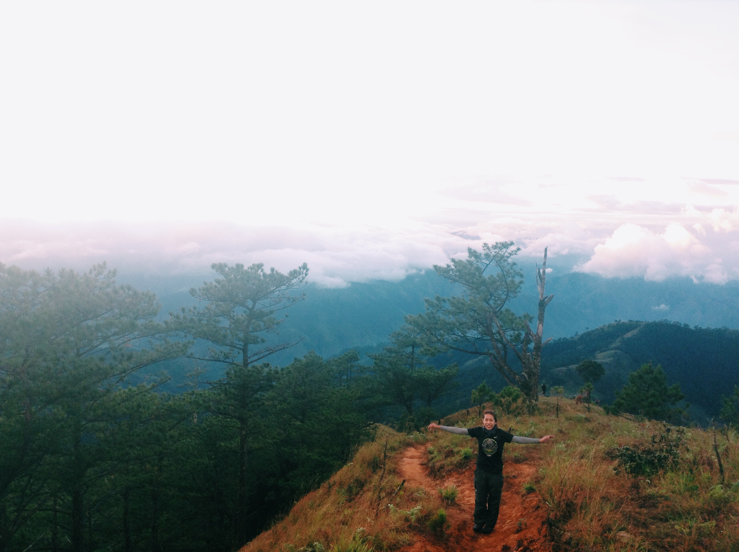
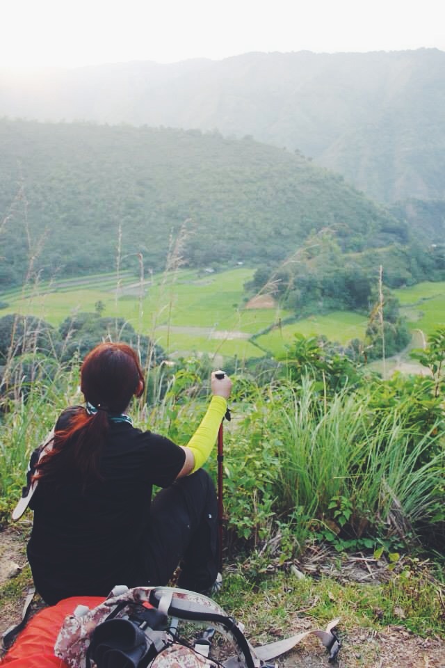
We passed Mt. Samiento and waited for the rest. While our eyes are feasting to the view of this mountain, we have passed a larger open trail which gives a view of the peak of Mt. Ugo.
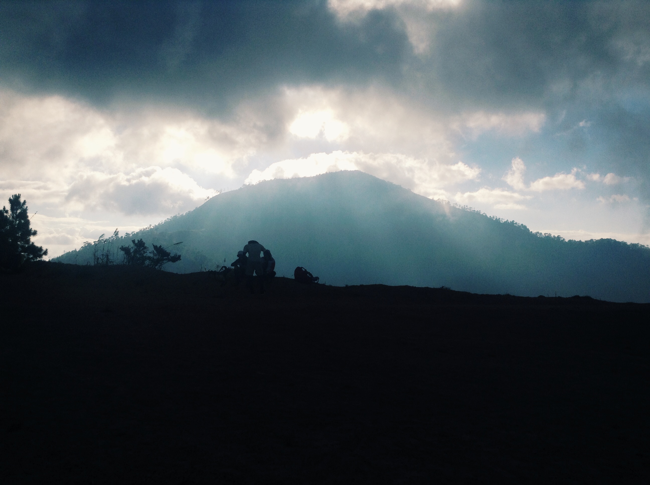
The peak of Mt.Ugo is clearly seen from this point. Excited! 🙂
When everybody reached the same spot, we continued and trekked for another grueling hours. The last leg to the campsite is steep and was covered with fog. One of us had leg cramps and had a hard time already. We took few of his baggage so he can trek for a few more kilometers.
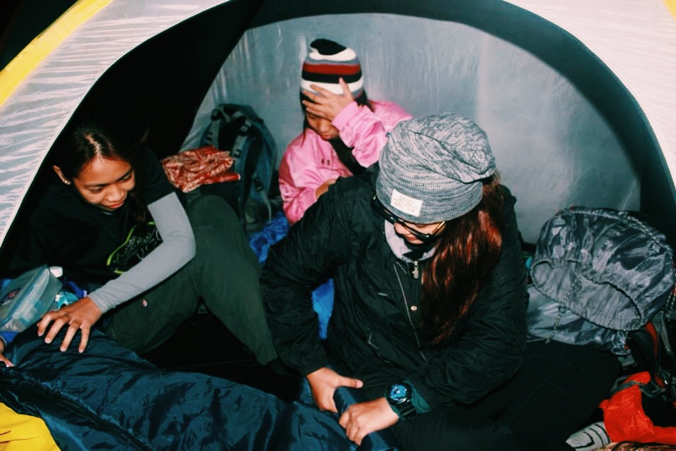
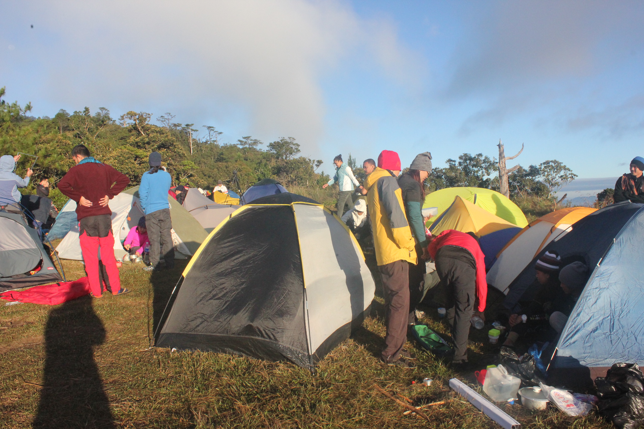
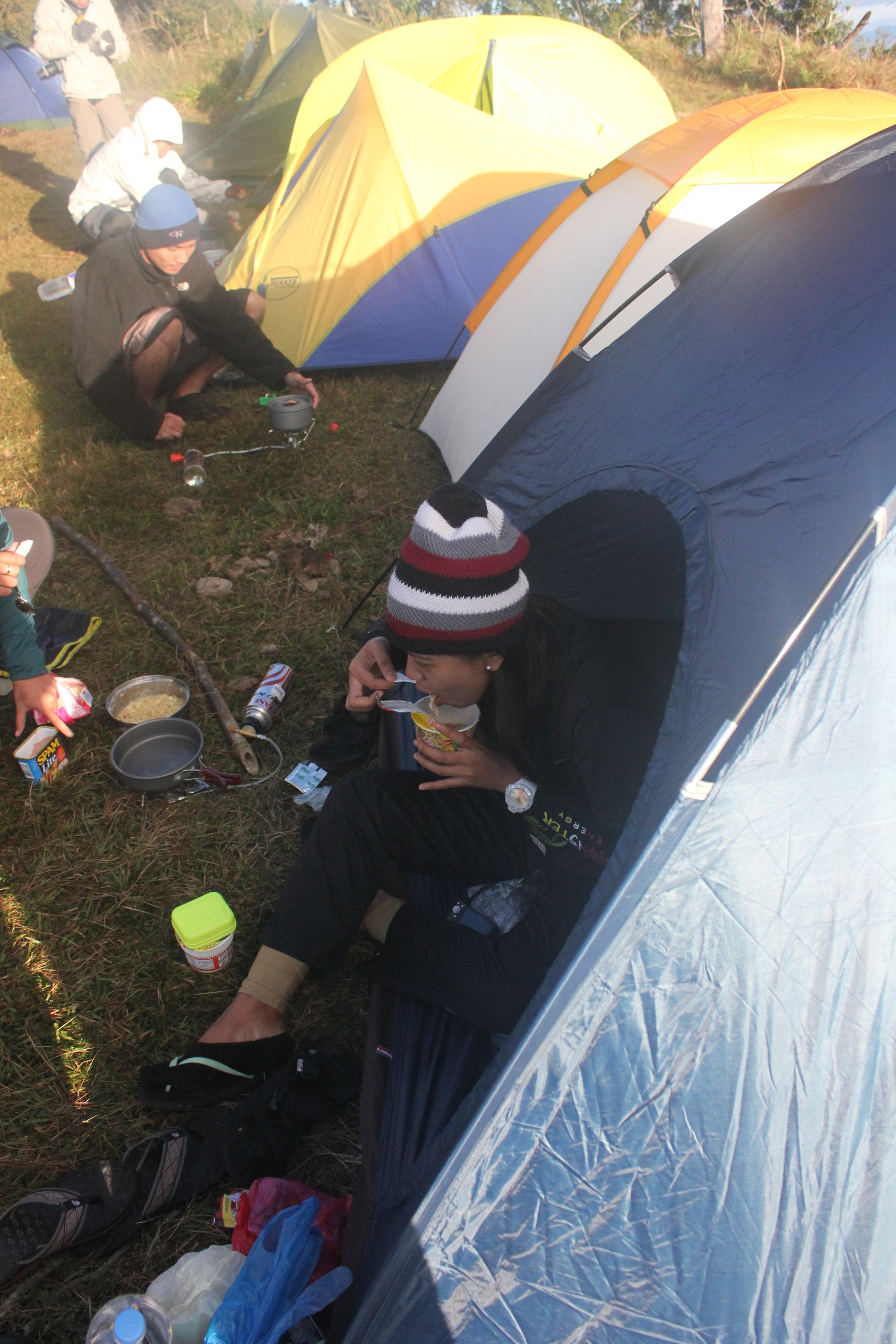
It was 6 in the evening when we reached the campsite. We set up our tent, took a light dinner and called the night.

We woke up at 5:30 in the morning and felt cold breeze sweeping my face.
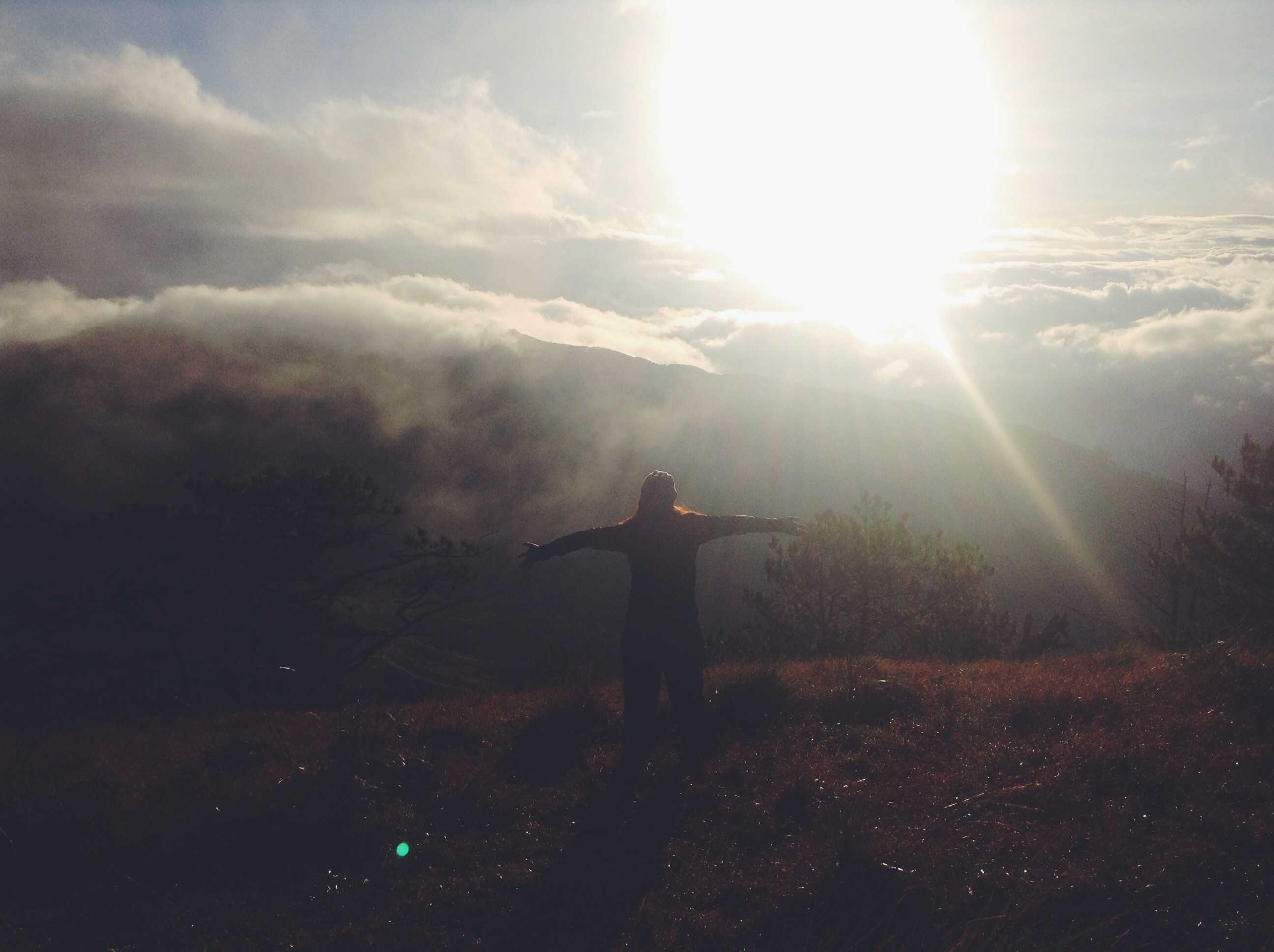
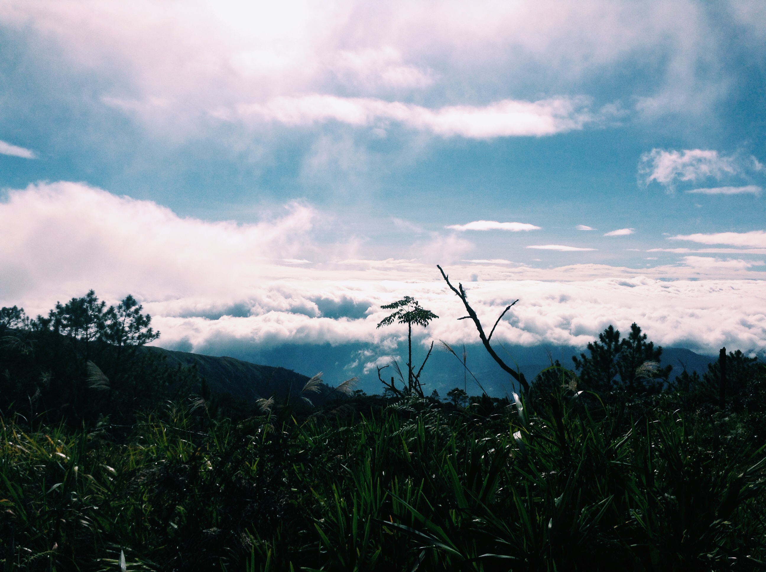
Sunrise and Sea of Clouds
After savoring the breathtaking view, we took our breakfast and break the camp. We are now on our way to the summit.
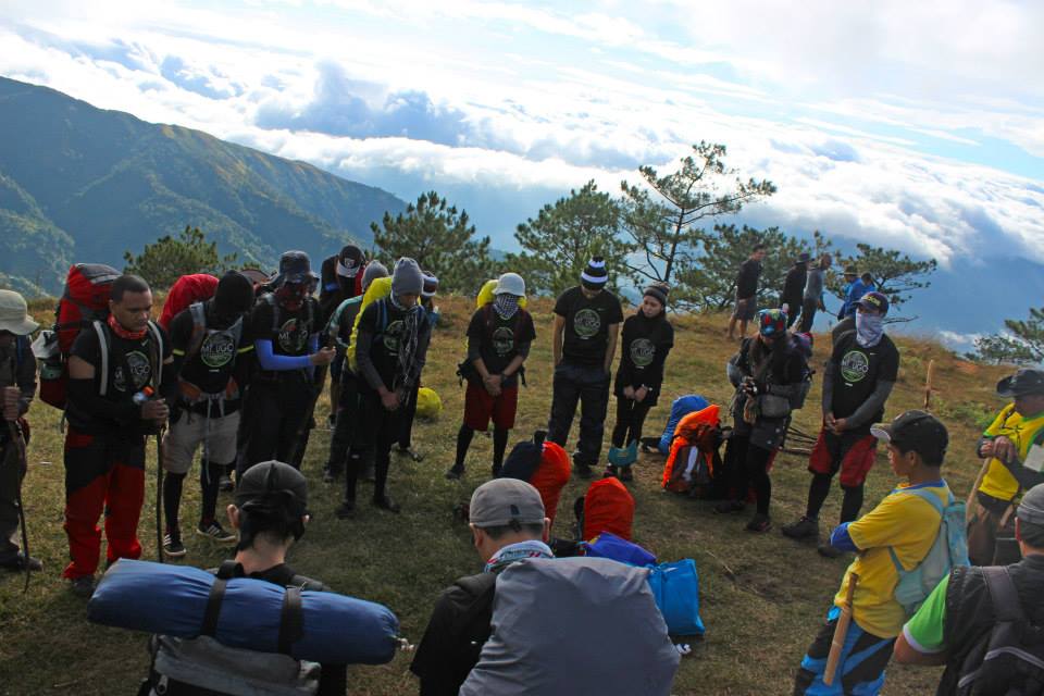
Uttering a prayer before we proceed to the summit
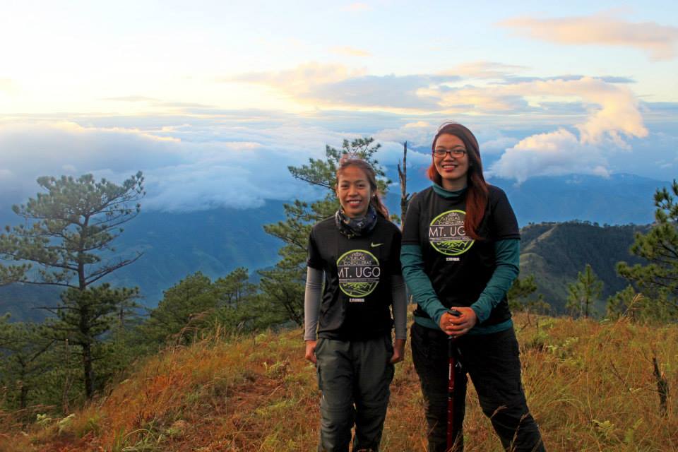
It only took 15 minutes to reach the summit from the campsite. The built Mt. Ugo marker is at the summit.
This small rock signifies three nearby places.
(L) Mountain Province, (BM) Nueva Vizcaya, (R) Pangasinan
We head back to the other side of the summit where we can view the top of Mt. Pulag.
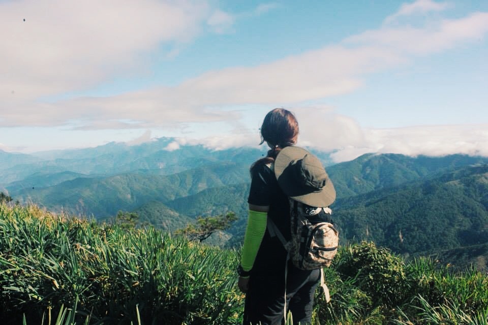
The sea of clouds is also visible from the summit but not as blunt as we have in the campsite.
As we did our traverse, the first hour of descending became a little bit challenging. The trail was steep, slippery but never fails to boast its view.
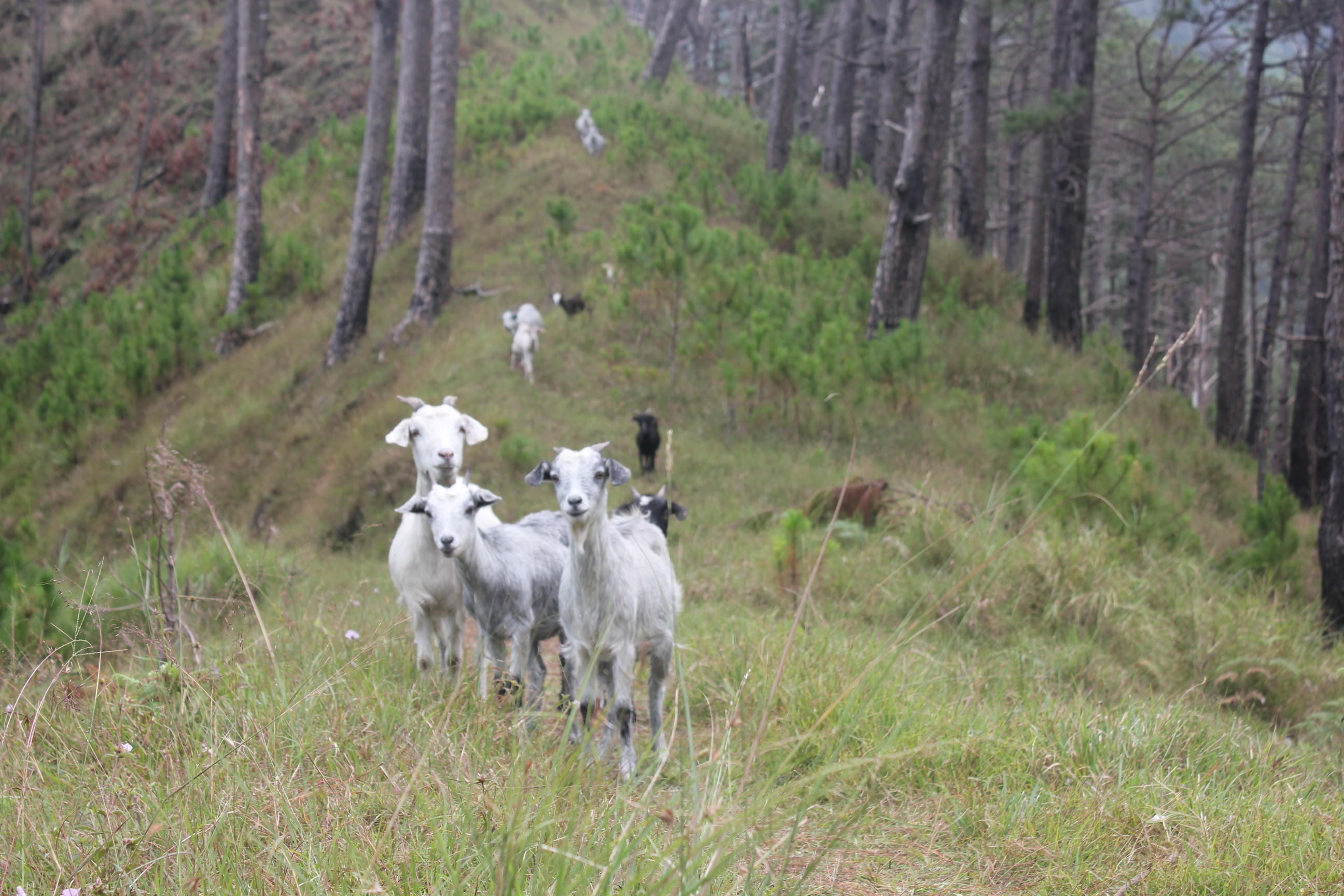
Ang napakaraming baka at kambing na nagkalat sa Mt. Ugo
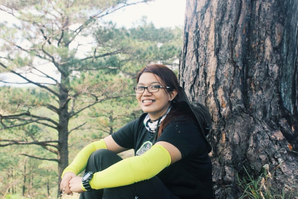
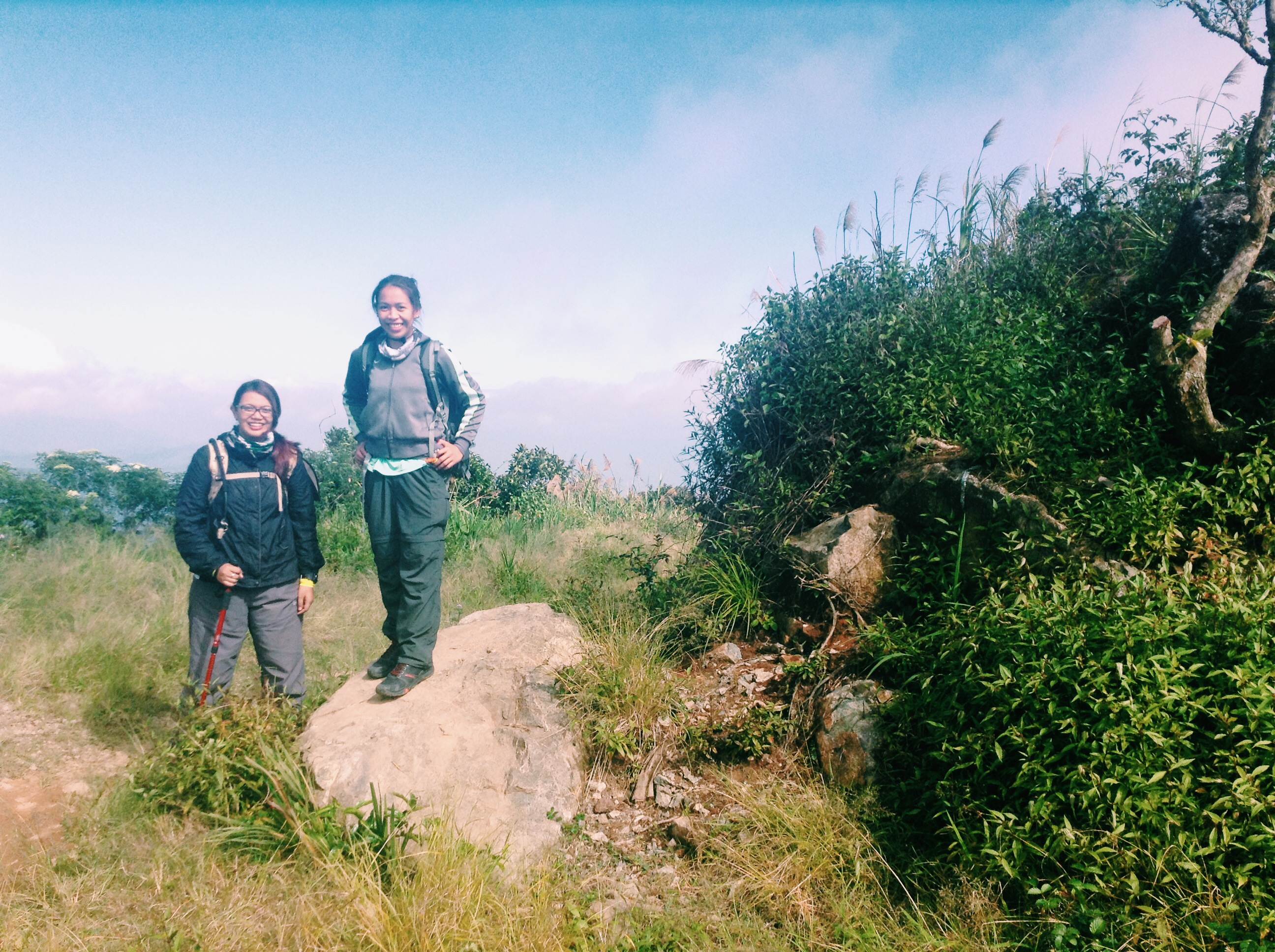
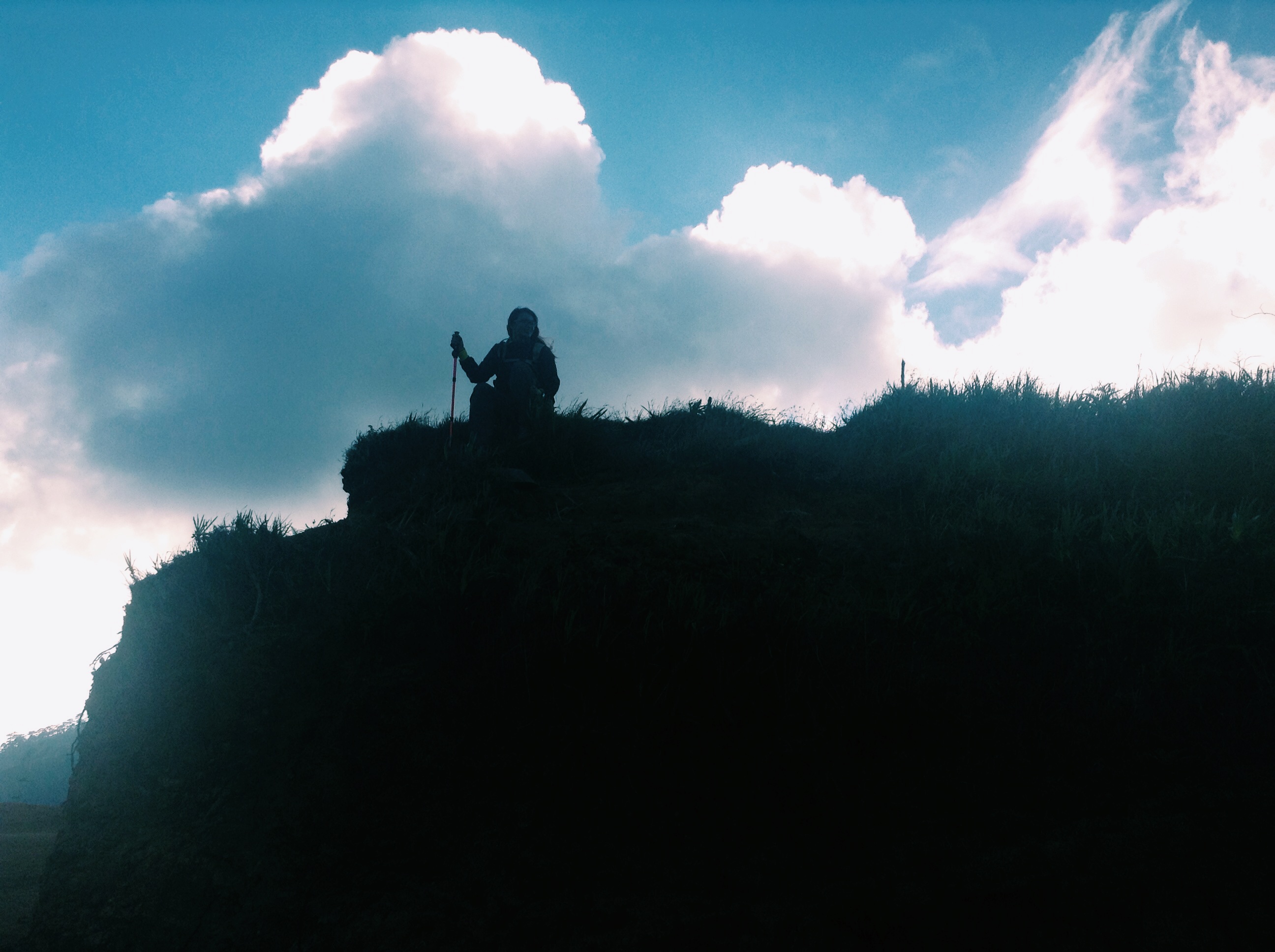
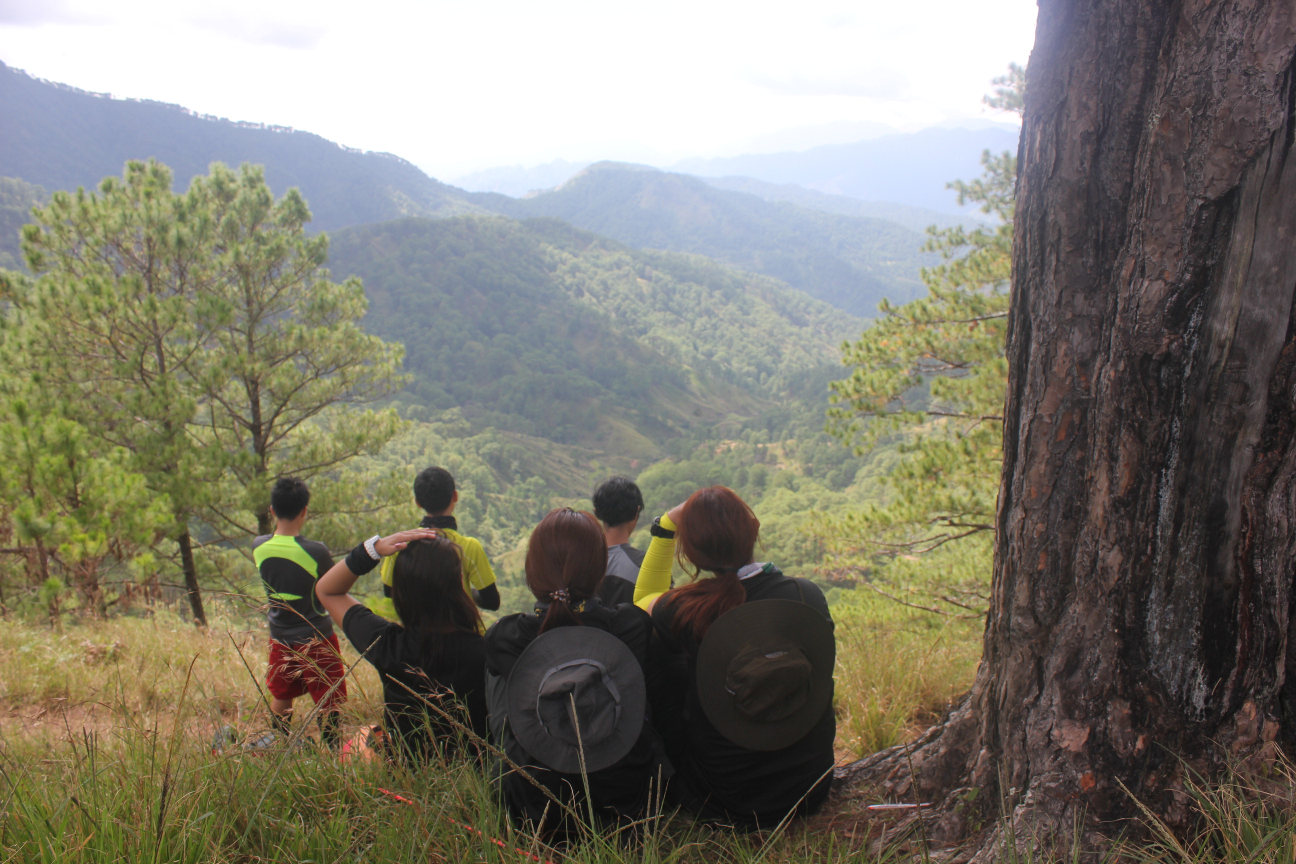 Ito yung take five namin na ayaw ko ng umalis kasi sobrang ganda ng view.
The usual plain trail and pine trees came back to the scene as we go along.
It was almost 12 in the afternoon when we reached the last km 6.5. We felt that the temperature is getting high and hotter. In this mark, we have waited for the remaining trekkers and took this time to refill our bags with water.
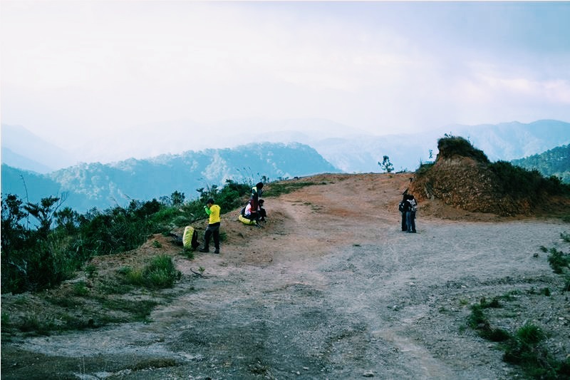
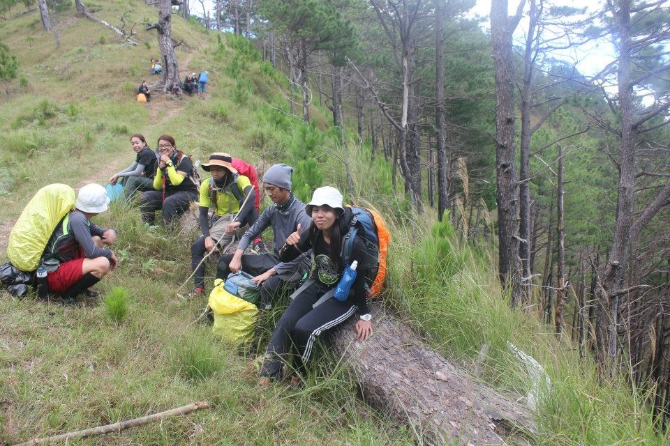
I was a bit worried that we might not reach the bridge before the dark. We have decided to meet and wait every 2 Kilometers so we can reach the bridge as soon as we can.
While waiting for the rest.
I felt weary when we reached the last 1.5km. So I took time resting in this phase and let my eyes feast to the view of Agno River and Kawayan Village
Hooray! We were able to reach the Petican-Animal Bridge at the right time! This bridge serves as the mark of our last .5km.
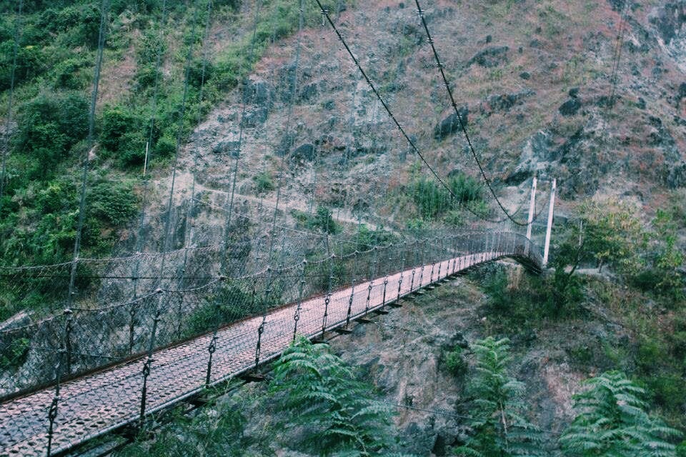
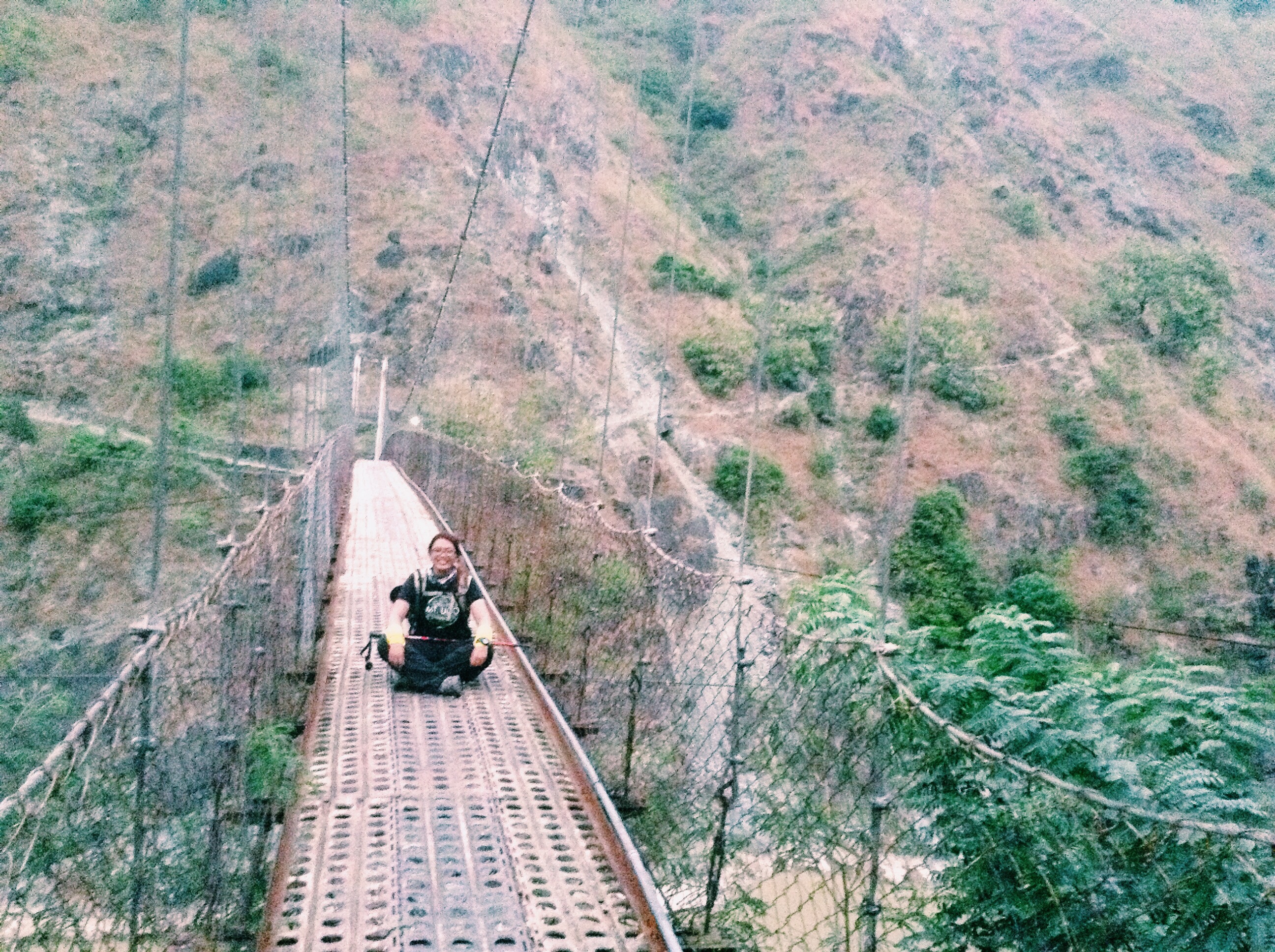
Tadaaaa! The Petican-Animal Bridge! (Ugh. Finally!)
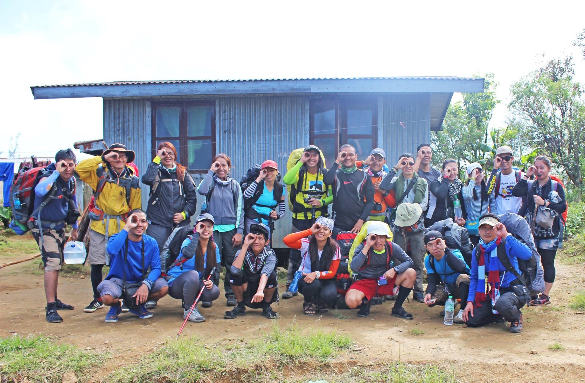
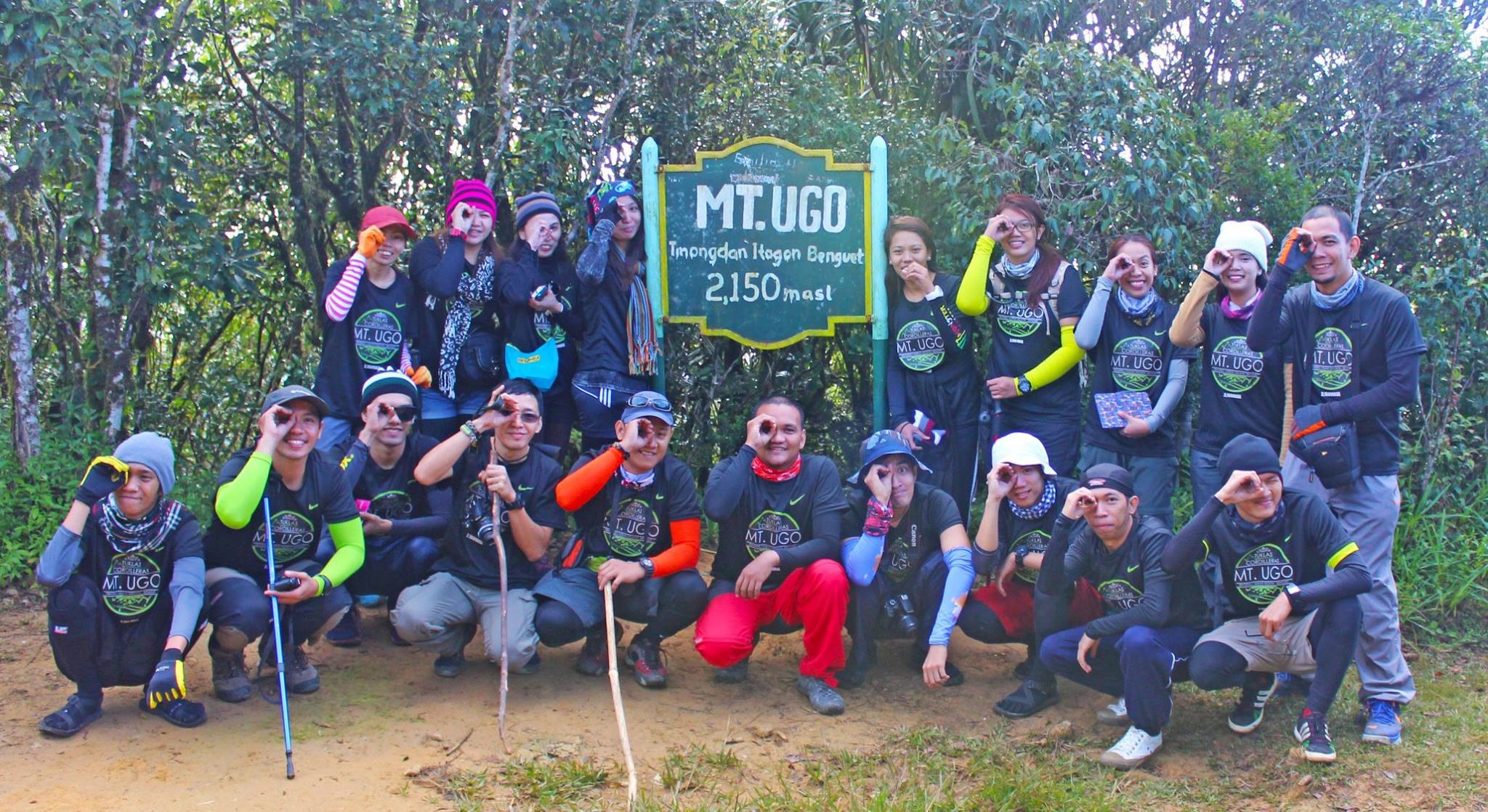
In no time, we have reached the welcome mark for Mt. Ugo Climbers which also serves as the mark of our successful traverse!
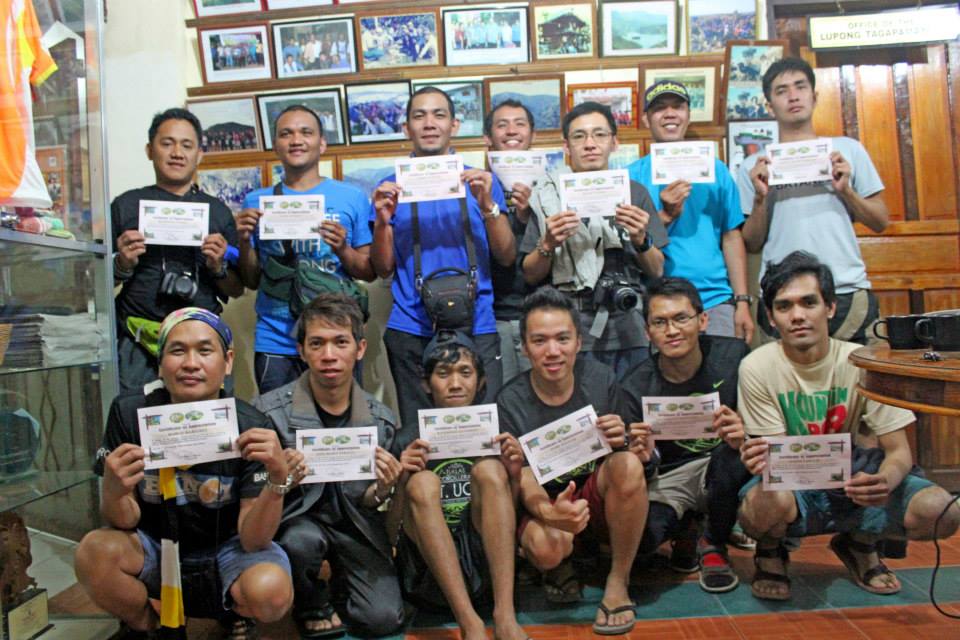
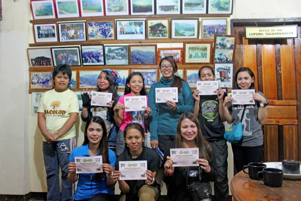
Before we head to our final destination, which is Baguio City, we alighted at Baranggay Tinongdan to receive our certificates.

Baranggay Tinongdan
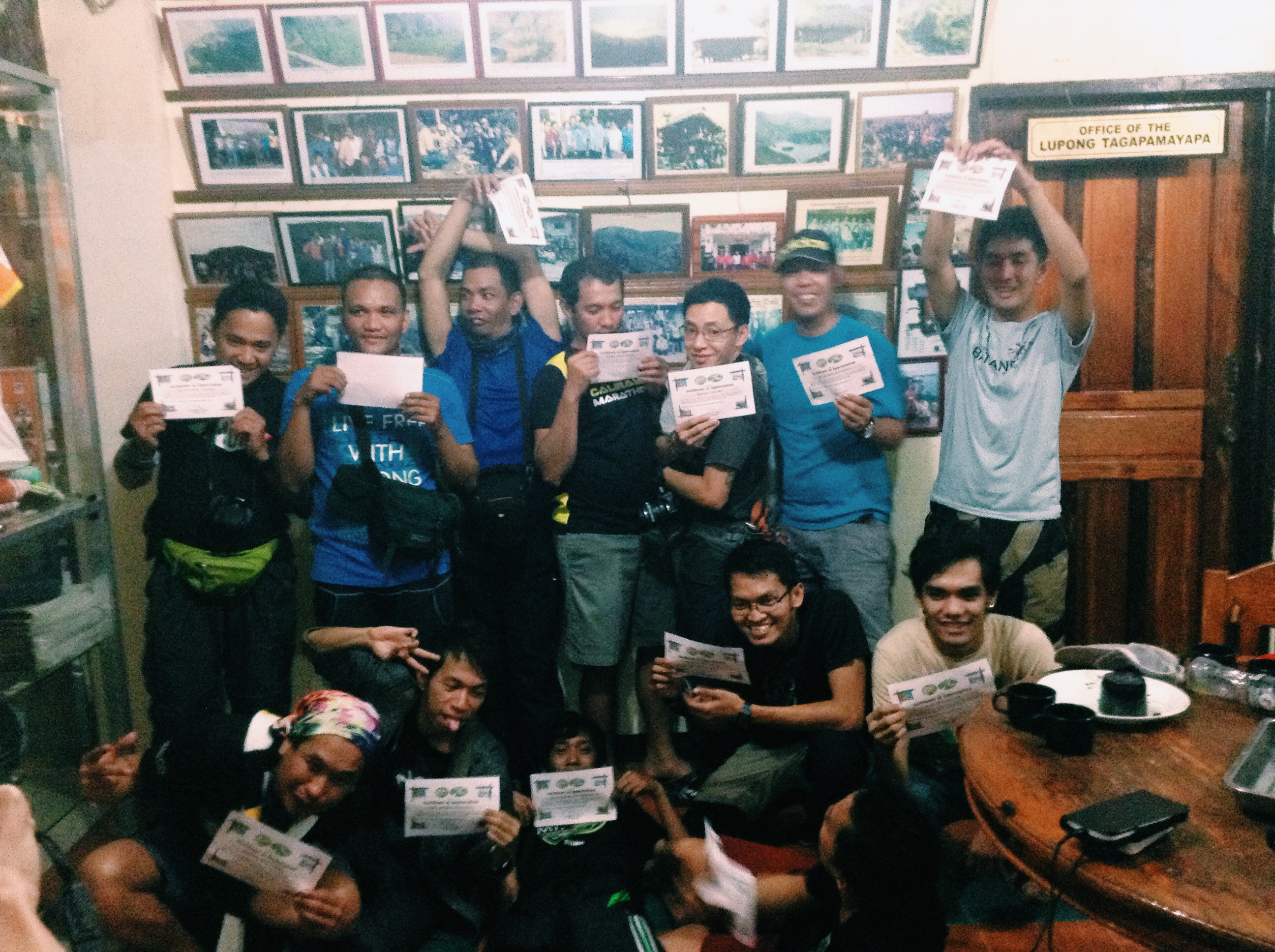
Ang mga boys ng grupo, di papayag na walang wacky shot. haha
The lovely view of this mountain will forever be in my memory. I would say that this is one of the best climb I ever did. It all came in perfect time, with the right people, and at the right place.
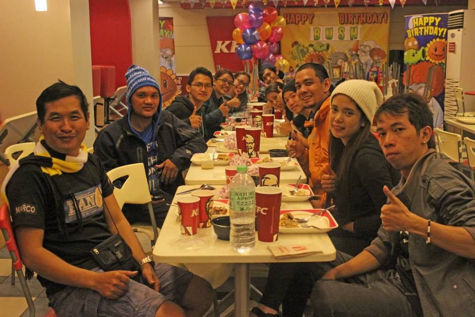
We had our Post Climb/Dinner in Baguio City Session Road
Add/Follow me:
FB: http://www.facebook.com/theadventourist1
IG: joeyinwanderland
Photo Credits:
Richmond Q, Raymond D., Vince, Carlo Castino (TUKLAS), Irone B. (TUKLAS)
Please don’t hesitate to leave a comment, like, or follow me if you happen to read this. Thanks!
